
")

Surveying
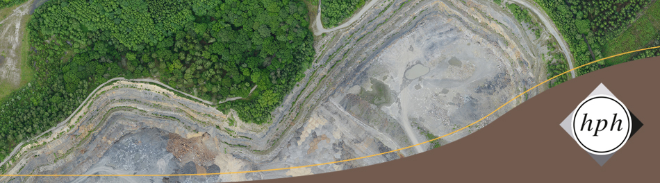
The recording of elevation data (land surface, mining structures, water system, connecting heights) on planning areas is an essential basis for further expert planning. By surveying from our own resources, we can adapt the geodata acquisition to the individual requirements of our projects, e.g., exploring possible areas for the extraction of raw materials, economic calculations of the profitability of a deposit or changes in the surface during monitoring. Depending on the problem, we can carry out the measurement of a planning area using different methods or combine several methods with each other:
On the ground we record terrain data using DGPS (Differential Global Positioning System). With Trimble's GPS we use the SAPOS service (Satellite Positioning Service) of the Federal states, where correction data in height and position are received via an Internet connection. Outside Germany, the respective elevation systems of the countries are used wherever possible.
We can generate current elevation data with the help of our own unmanned aerial survey system (UAV Unmanned Aircraft Vehicle): Trimble UX5 or DJI's Phantom Pro quadrocopter drones are used. We calculate surface and terrain models from the generated orthoimages and offer NIR images as well as RGB images.
In the special case of undersea surveys (waters, dredging lakes) echo soundings are carried out from the water with coupling of a GPS. Such measurements are used for the documentation of the excavation depths and especially for the control of the slopes below the waterline.
For further information in English about our fields of work and our company don´t hesitate to contact us.